
Two Who Trek visit Ingapirca, leaving it in ruins (as it was when we got there)
Some ruins are remnants of the past and stand as a historical reminder of people who once lived here. Ecuador’s largest and best preserved archaeological site, Ingapirca, means Wall of the Inca in the Cañari language. This special place was first used for worship by the indigenous Cañari. It was called Cashaloma or Place Where Stars Pour from the Heavens.

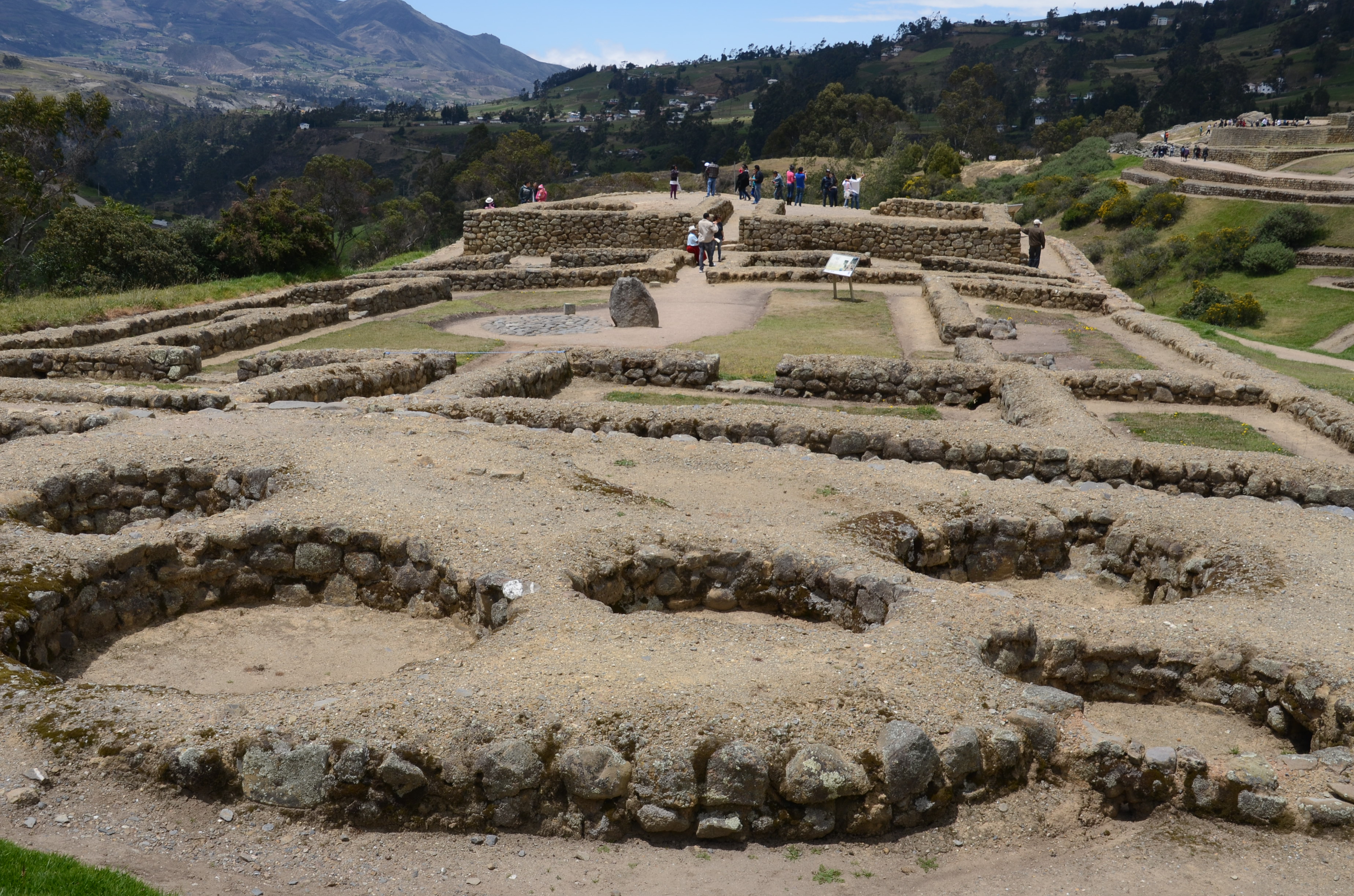
Overall view of Ingapirca
Ingapirca was built over the Cañari site by the Inca during the 15th century. Like Machu Picchu in Perú, little mortar (animal blood and dust) was needed to hold the perfectly fitted stones into place.
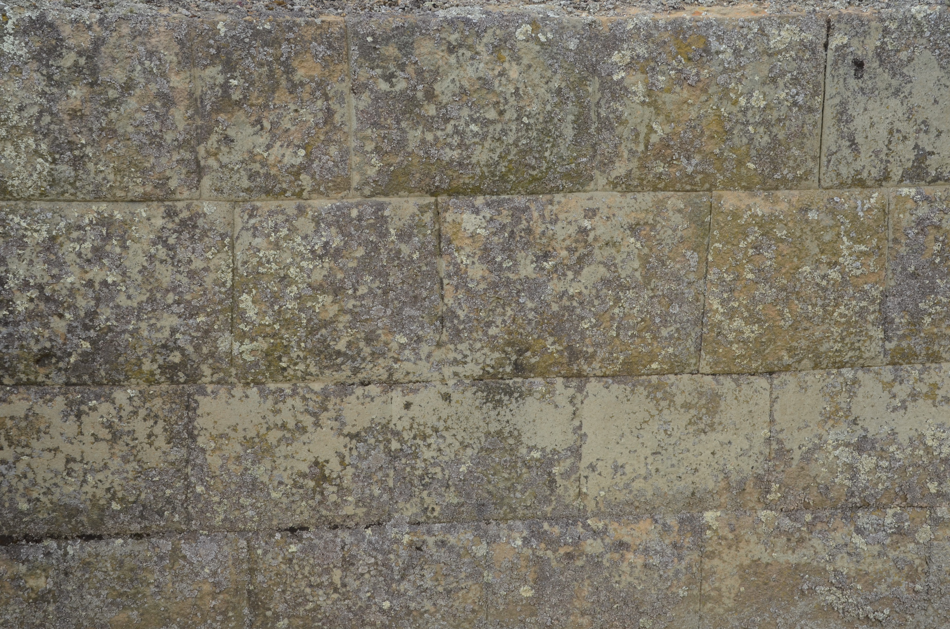
Close-up of stone masonry at Ingapirca
Doorways are trapezoidal, not rectangular, making them more resistant to earthquakes.

One of the trapezoid doorways at Ingapirca
If not for the Spanish carting stones away for building elsewhere, Ingapirca would exhibit even more of its original splendor.
Carved stones that were once part of the Ingapirca buildings
The Cañari people still use the site today for holding festivals and grazing llamas and sheep. Eight llamas were grazing at Ingapirca on the day we visited.

Ingapirca llamas
Less than two hours from Cuenca via the Panamerican Highway, Ingapirca is off the beaten path. The last twenty minutes of the journey were on secondary roads where the rolling landscape was punctuated with tiled homes, grazing cattle and sheep.
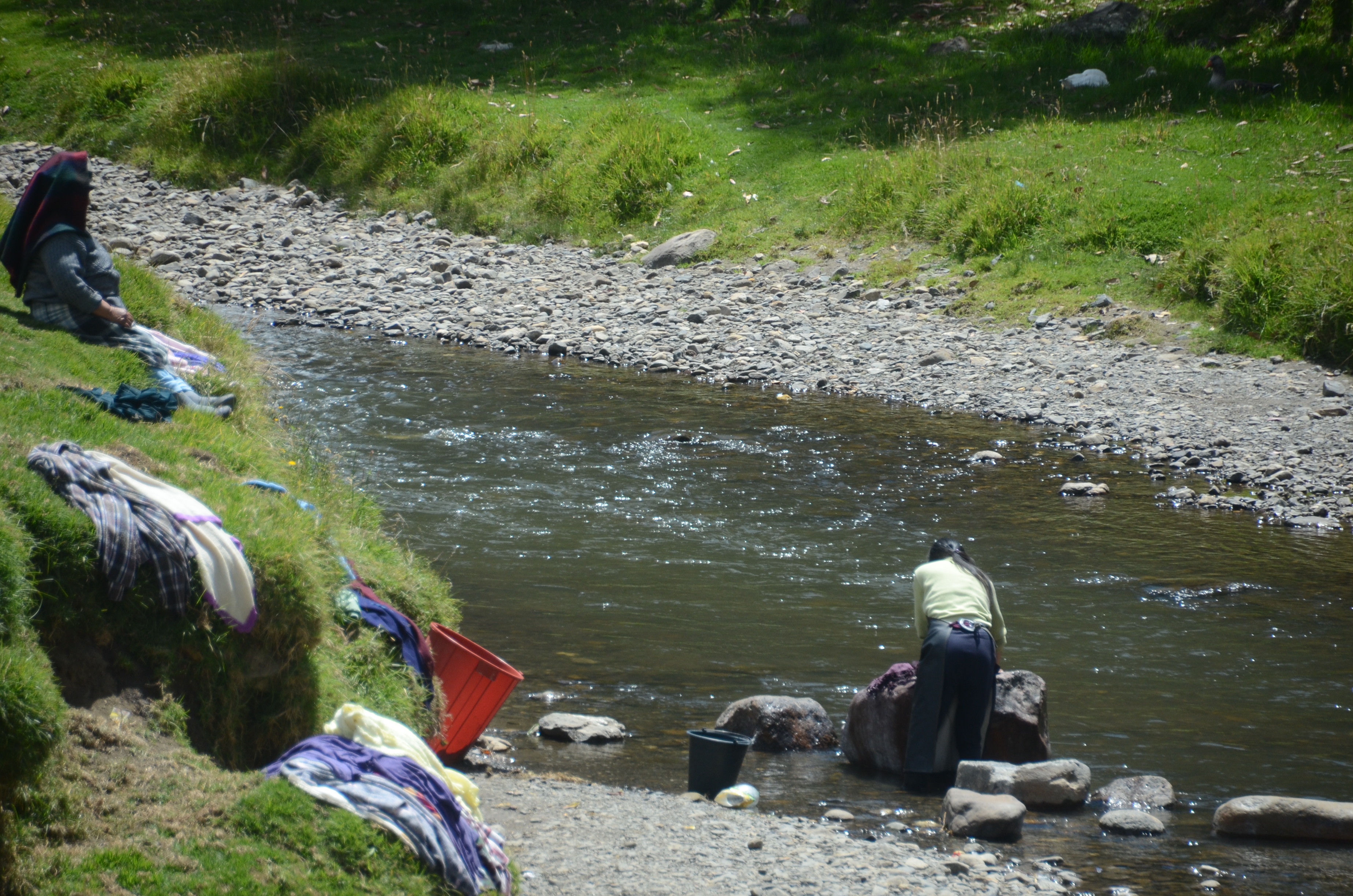
Washing clothes by hand in the river, on the way to Ingapirca

Clothes washed in the river, which we saw as we were driving to Ingapirca
This was a graphic introduction to the sites we were going to see. Ingapirca stands tall and proud: a living explanation point in an Andean valley.
This archeological site is an up close and personal place with several possible reasons for being. Its purpose was probably ceremonial, strategic and a tambo or resting place on the road to Quito. Walk all over the grounds but keep in mind that the paths are the safest place to walk. Other areas are extremely uneven, some with steep inclines and many rocks.
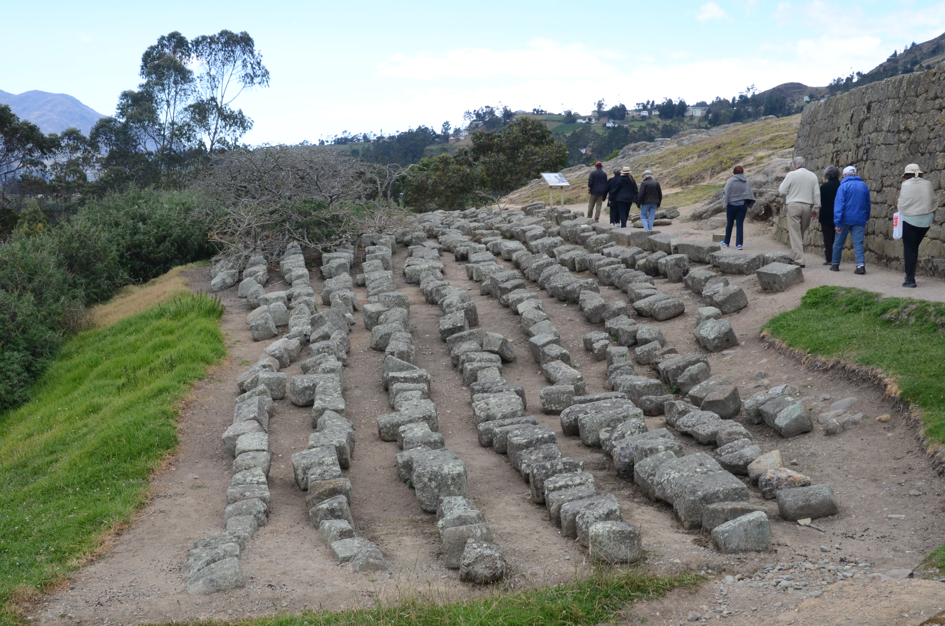
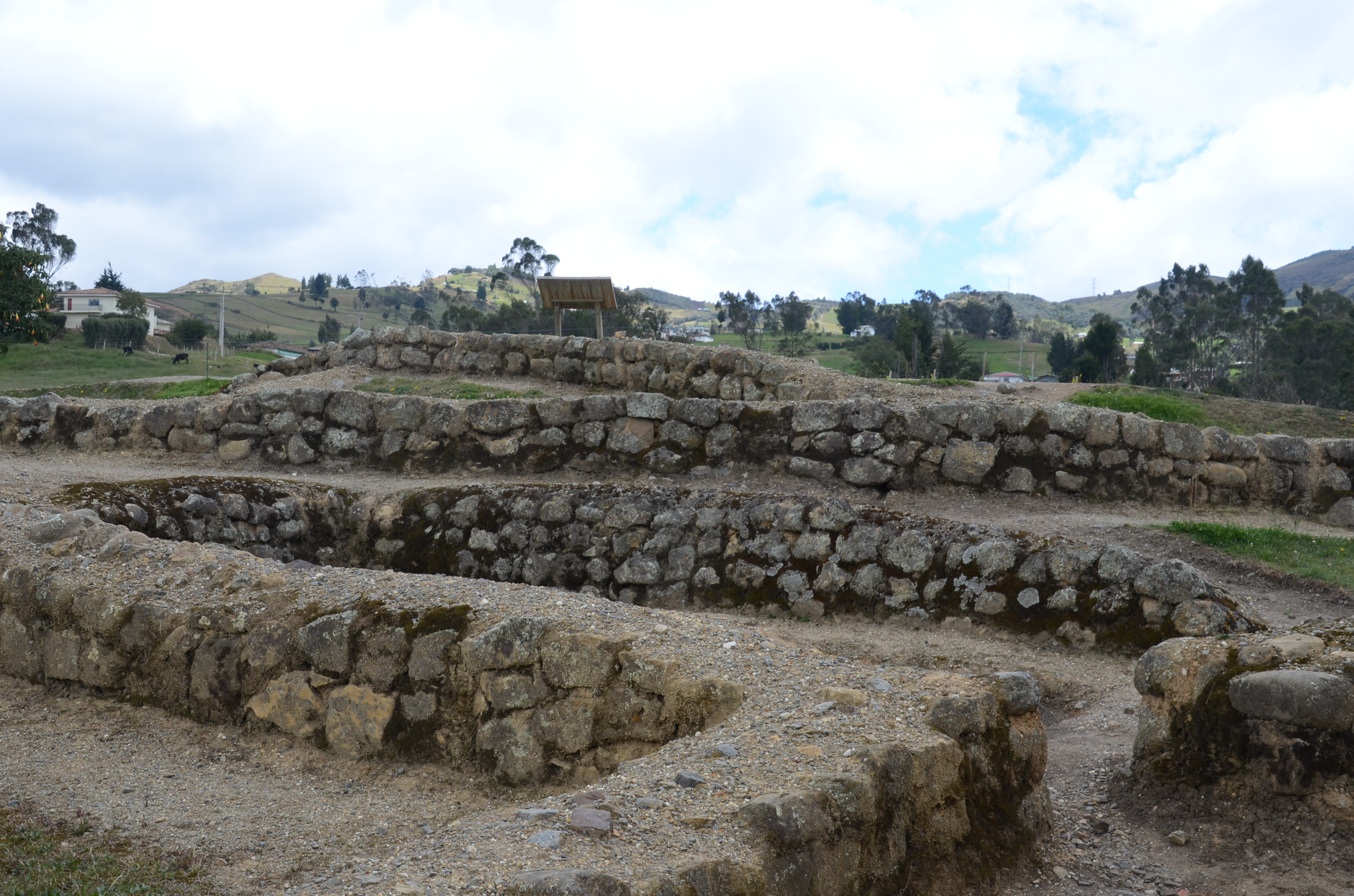
On the grounds, pits called collcas were used to store food.
Collcas used for food storage at Ingapirca
Stones from acllahuasi remind of us where the ultimately sacrificed virgins lived.

The acllahuasi, where the virgins lived
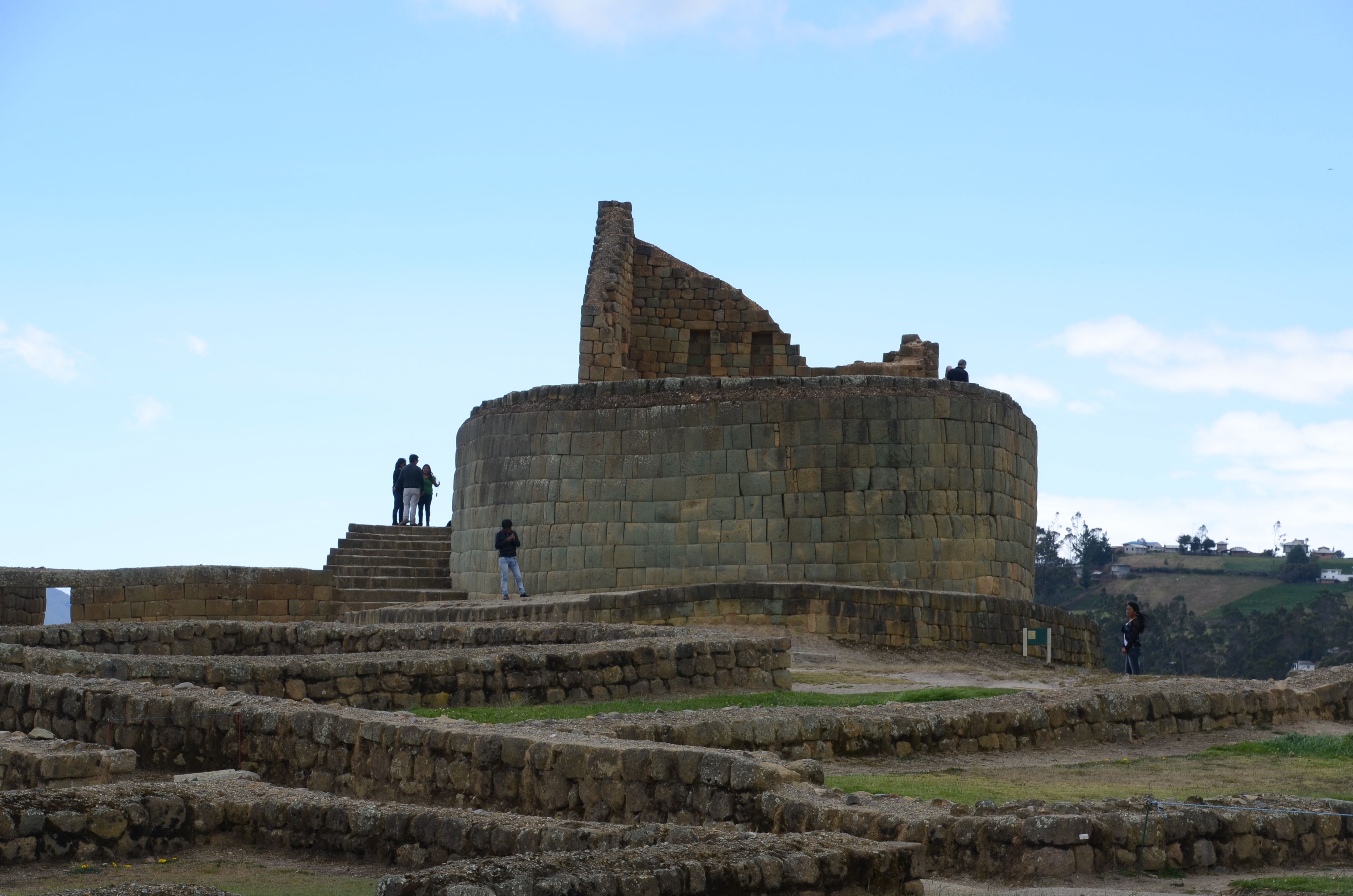
The highlight of the tour is the Temple of the Sun. Windows in the temple are closely aligned with sunlight patterns during the two equinoxes and solstices.
A different view of the Temple of the Son at Ingapirca, from the east
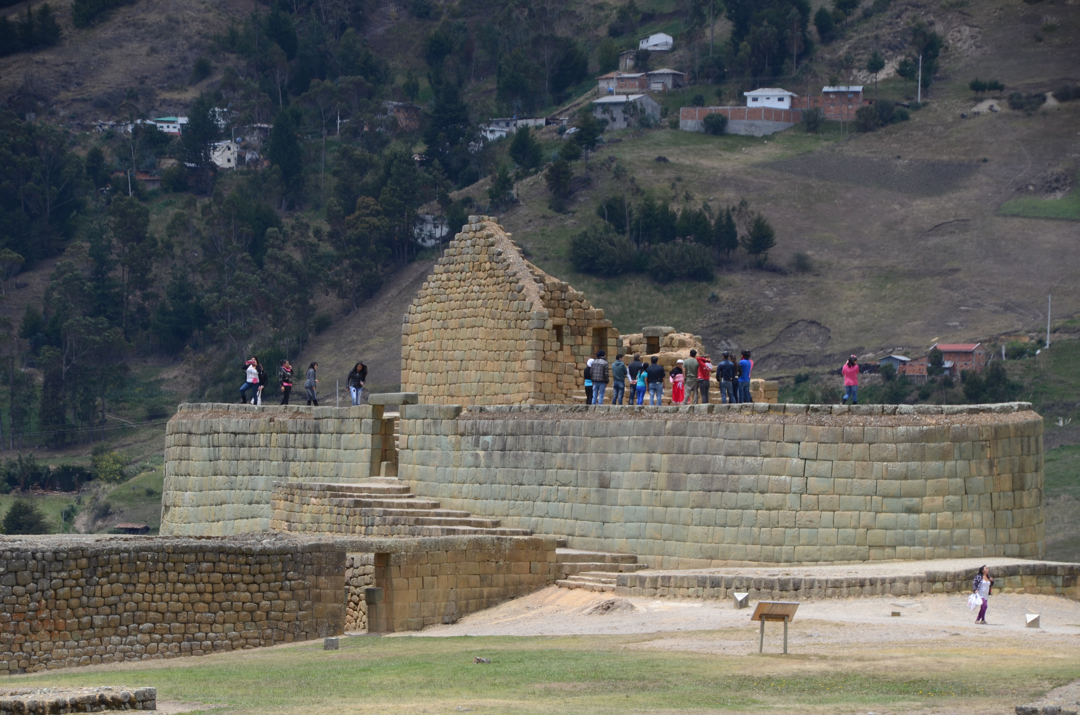
Tourists on the elliptical Temple of the Sun at Ingapirca

The elliptical Temple of the Sun

Observatory on top the Temple of the Sun, Ingapirca

View from the top of the Temple of the Sun, Ingapirca
The entire site is shaped like a puma, a cat sacred to the Inca. The head is the temple, the Incan road is the spine and the tail is the square stone foundation once housing the virgins.

A portion of the real Inca Trail, heading southwest
Now for some different views of Ingapirca:

Recessed notch in the Temple of the Sun, Ingapirca
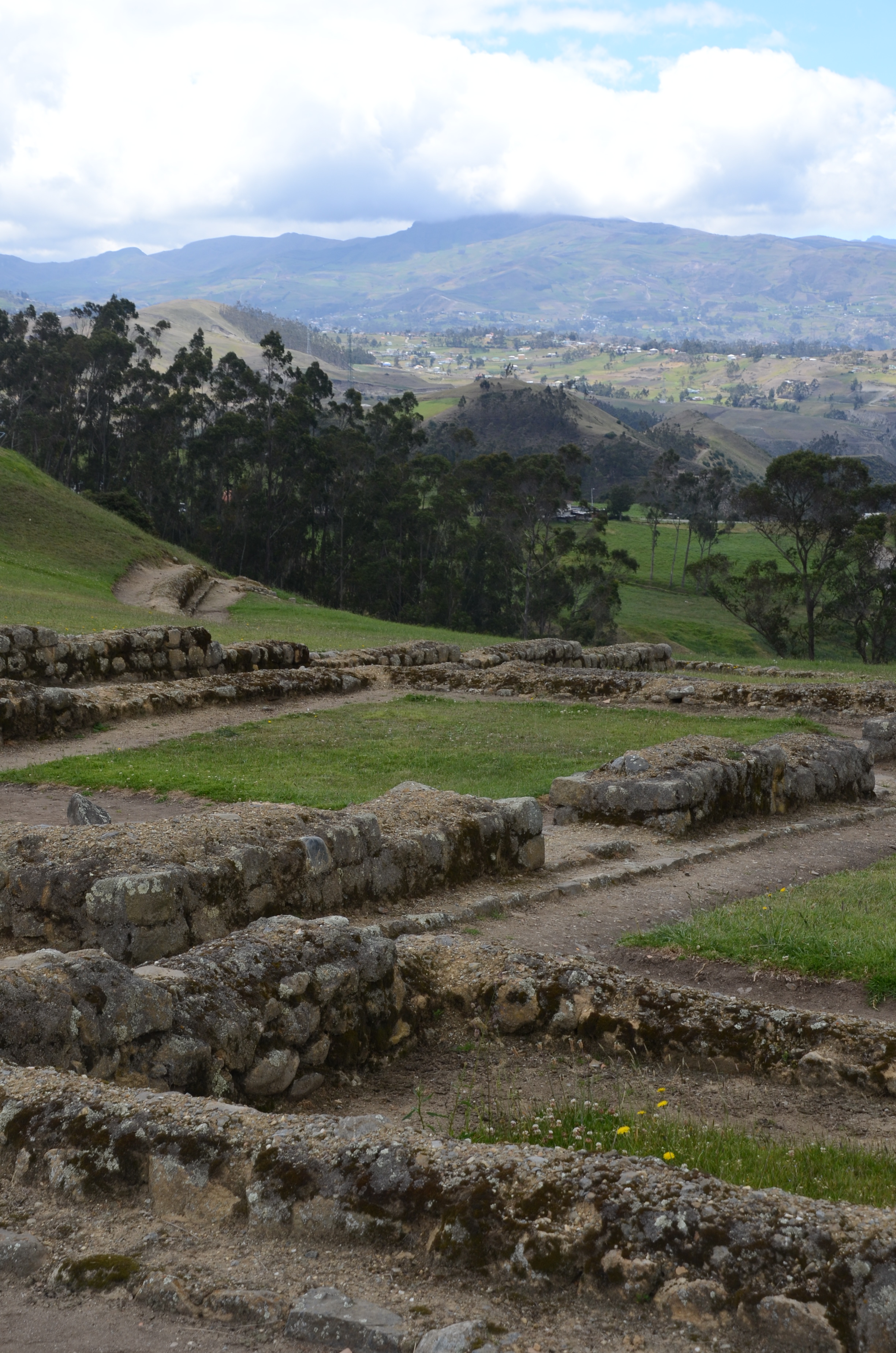
Storage house foundations and a mountain view

View from Ingapirca

Burial pit of a high priestess at the pilaloma
Stonework at Ingapirca, at the residential area

Reconstructed house, probably used for military purposes
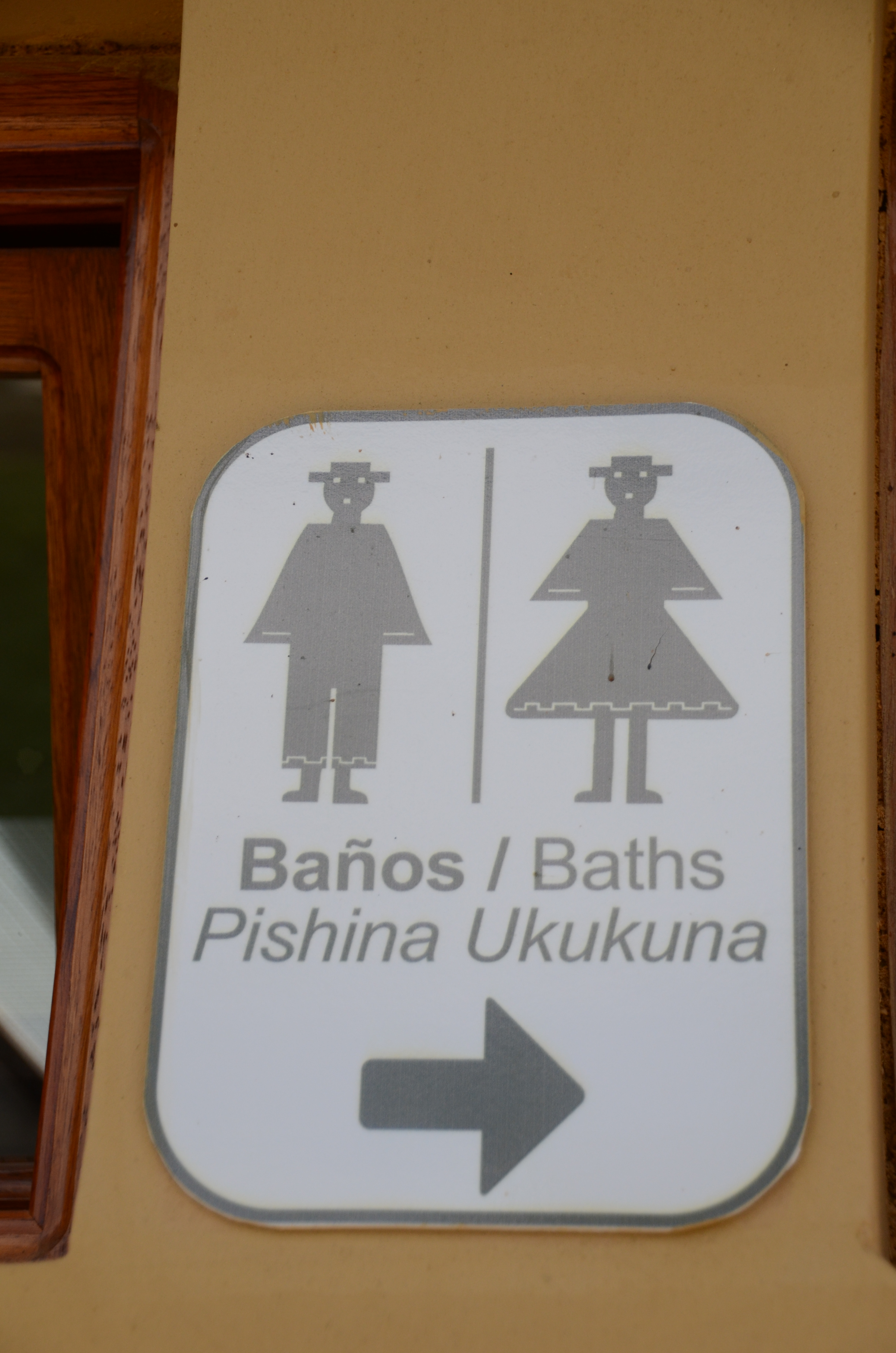
Bathroom sign in Spanish, English, and Quichua — most signs at Ingapirca had all three languages
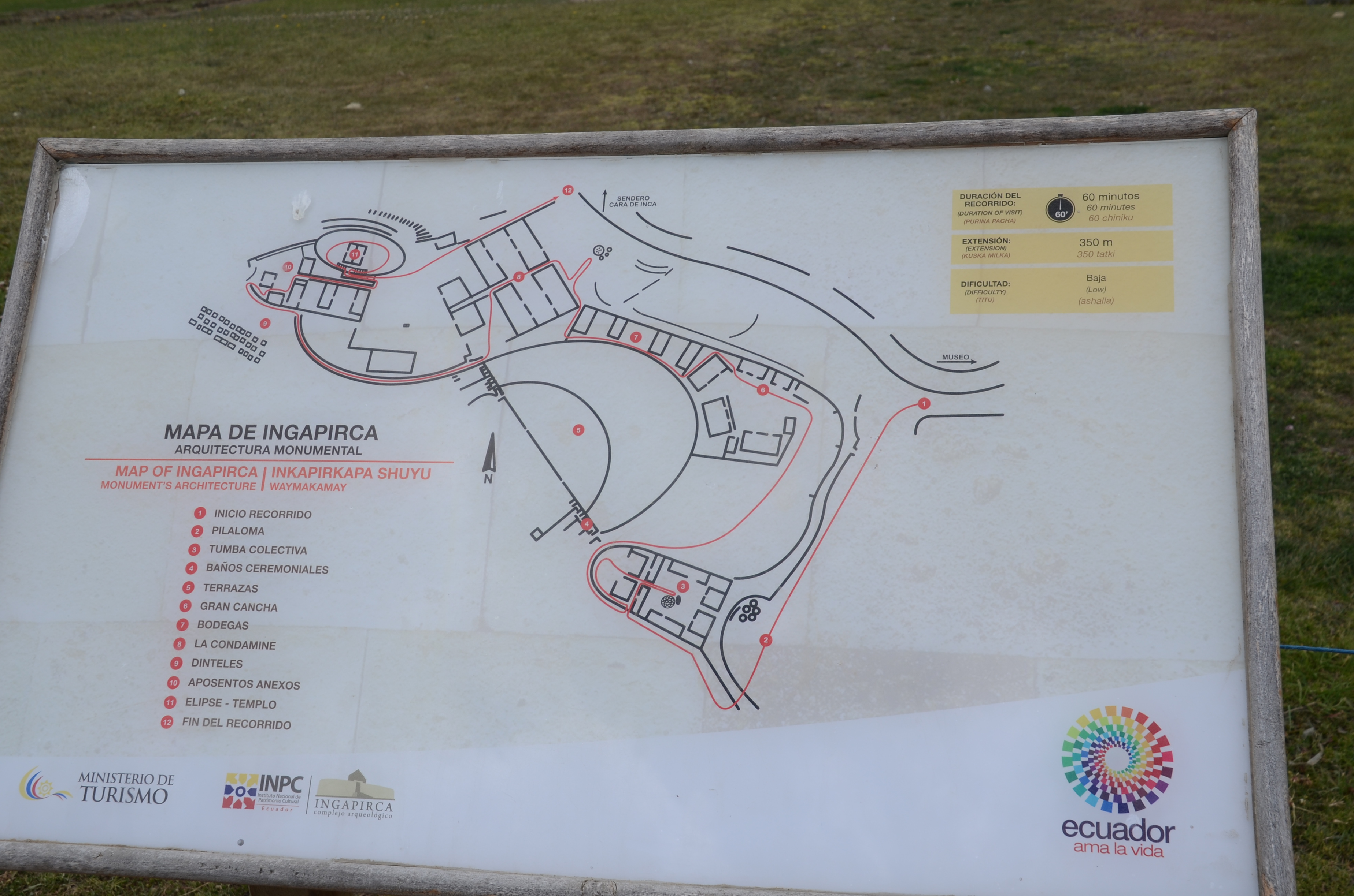
Map of Ingapirca

The town 200 meters outside the Ingapirca archeological site

Thanks for this overview. We plan to visit this week and this gave me more of an idea what to be in store for.